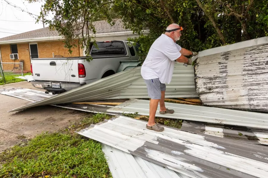

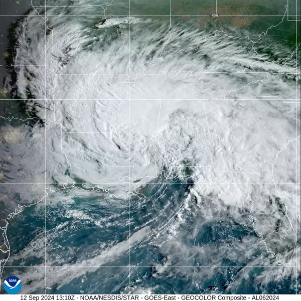
Tropical Depression Francine was downgraded from its initial status as a powerful Category 2 hurricane with 100-mph winds that ripped roofs off buildings and trapped residents inside their homes amid rising floodwaters due to torrential rain. The storm made landfall in Terrebonne Parish, pushing hurricane-force wind gusts into southern portions of Louisiana near Baton Rouge.
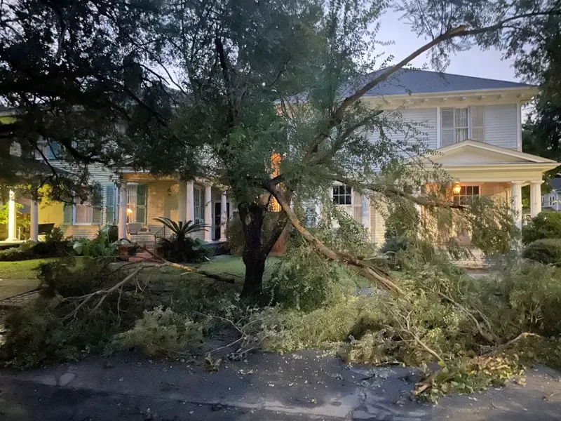
Winds were whipping across the region as Francine approached, made landfall and moved inland on Wednesday and Thursday. New Orleans reported wind gusts of 78 and 76 mph, while Dulac reported a 97-mph gust and Eugene Island experienced the highest wind gust at 105 mph.
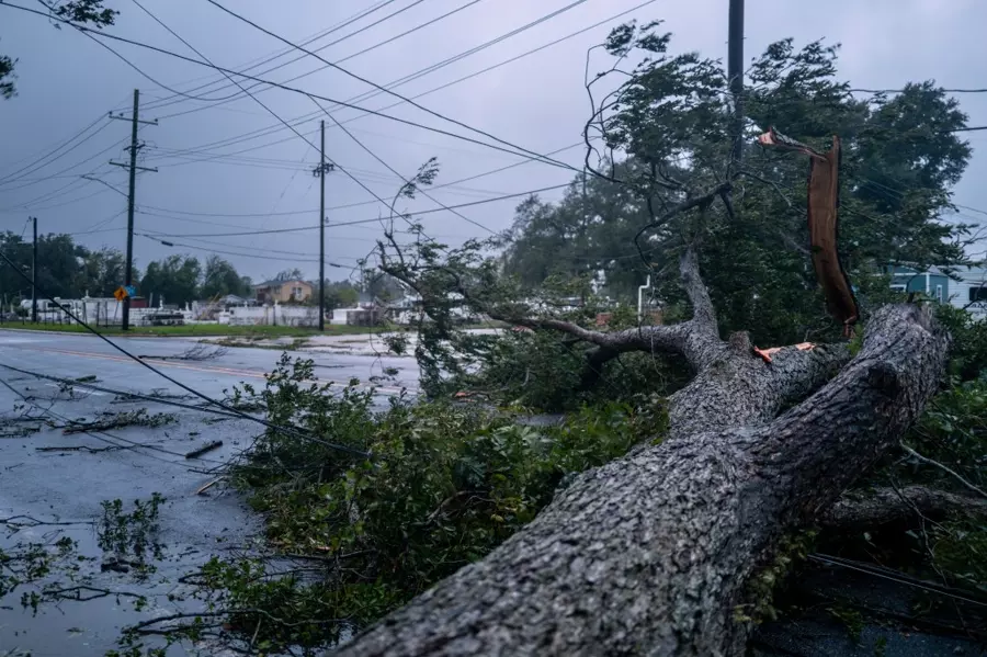
Between the ferocious winds and heavy precipitation, Tropical Depression Francine is now responsible for plunging more than 400,000 utility customers in Louisiana and Mississippi into darkness. A rare Flash Flood Emergency was issued Wednesday night for parts of the New Orleans metro, where 0.50 inches of rain fell in only nine minutes and 4.5 inches of rain fell in only three hours, leading to life-threatening flooding.
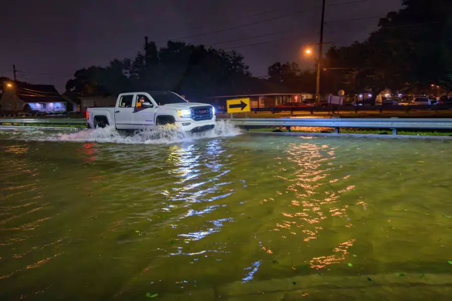
Louis Armstrong New Orleans International Airport (MSY) officially had its second-wettest September day on record on Wednesday, receiving 7.33 inches. It was also the city’s ninth-wettest day overall since 1946. The relentless rain that hammered the region led to numerous reports of flooding, trapping residents inside their homes as water crept higher and higher.
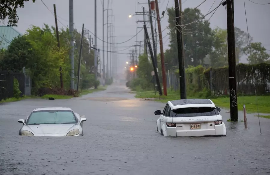
Utility companies can’t go out to make repairs and try and restore power until conditions improve across the region. As of Thursday morning, more than 388,000 customers are in the dark in Louisiana, while power outages in Mississippi have started to skyrocket. Travel was significantly impacted due to flooded roads and canceled flights. Officials at Louis Armstrong New Orleans International Airport said that all flights into and out of the area were canceled on Wednesday.

Several other weather alerts, such as Wind Advisories, Flood Watches, and other hazardous weather outlooks have been posted as far north as southern Missouri and as far east as Tennessee as what is left of the tropical cyclone makes its way through the South.
Francine became a hurricane on Sept. 10, marking the peak of the 2024 hurricane season when a named storm is most likely to be roaming the Atlantic Basin. As Francine heads north and eventually dissipates, the National Hurricane Center (NHC) is also tracking several other systems in the Atlantic.